|
|
File:1850 map.jpgFrom The Peopling of New York City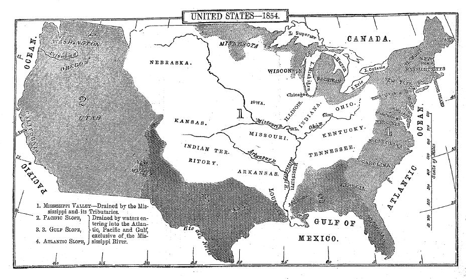 Size of this preview: 320 × 192 pixels Full resolution (929 × 556 pixels, file size: 156 KB, MIME type: image/jpeg) map of US in 1850s File historyClick on a date/time to view the file as it appeared at that time.
File linksThe following page links to this file: |